Platform, Systems, And Methods For Identifying Property Characteristics And Property Feature Conditions Through Aerial Imagery Analysis
Patent No. US11195058 (titled "Platform, Systems, And Methods For Identifying Property Characteristics And Property Feature Conditions Through Aerial Imagery Analysis") was filed by Aon Re Inc on May 6, 2020.
What is this patent about?
’058 is related to the field of automated property assessment using aerial imagery and machine learning. The background involves the creation and maintenance of risk exposure databases for insurance purposes. Traditionally, assessing property characteristics like roof shape and condition required on-site inspections or manual review of imagery, which is time-consuming and expensive. Deep learning offers a way to automate this process by analyzing aerial images to extract relevant property characteristics and assess their condition.
The underlying idea behind ’058 is to use machine learning models trained on aerial imagery to automatically identify and classify property features and their conditions. The system uses a two-stage process: first, it identifies features like rooftops, pools, or fences. Second, it analyzes the identified features to determine their characteristics (e.g., roof shape, material) and condition (e.g., good, poor). This information can then be used to estimate risk, repair costs, or confirm repairs.
The claims of ’058 focus on a system and method for automatically assessing features of a property location using aerial imagery. The system receives a request with a property location, accesses aerial imagery, and classifies the condition of features like rooftops or fences. This classification involves identifying the feature in the imagery, applying pre-trained property characteristic profiles to determine characteristics like material or shape, and applying pre-trained property condition profiles to classify the condition of the feature. The results are then presented to the user via a graphical user interface.
In practice, the system first obtains aerial imagery of a property, potentially using shape maps to ensure accurate property boundary identification. Then, it uses machine learning models, such as convolutional neural networks (CNNs) or Network in Network (NIN) models, to identify features within the imagery. Once a feature is identified, the system applies pre-trained property characteristic profiles to determine its attributes, such as roof shape (gable, hip, flat) or material (shingle, tile, metal). Finally, the system applies pre-trained property condition profiles, often based on color histogram analysis, to assess the condition of the feature (e.g., good, fair, poor).
This approach differs from prior methods that relied on manual inspection or simple image processing techniques. By using deep learning and pre-trained profiles , the system can automatically and efficiently assess a wide range of property features and their conditions. This automation reduces the need for costly on-site inspections and enables more frequent and comprehensive property assessments. The system can also integrate with other data sources, such as disaster risk profiles and replacement cost databases, to provide a more complete picture of a property's risk and value.
How does this patent fit in bigger picture?
Technical landscape at the time
In the mid-2010s when ’058 was filed, deep learning was emerging as a powerful tool for image analysis, at a time when systems commonly relied on manually-engineered features rather than learned representations. Applying deep learning to aerial imagery analysis for property characteristic identification was non-trivial, when hardware or software constraints made training complex models computationally expensive.
Novelty and Inventive Step
The examiner allowed the claims because they address 35 U.S.C. 101 and 103 rejections. The claims recite additional limitations including storing property characteristic profiles developed through training machine learning algorithms using property images to identify characteristics of property features, and property condition profiles developed through training machine learning algorithms using second property images to identify conditions of property characteristics. The claims also recite receiving a request from a remote computing device, accessing aerial imagery, classifying a condition of features, identifying the feature from the aerial imagery, applying property characteristic profiles to determine characteristics of the feature, and applying property condition profiles to classify a condition of the feature. The examiner stated that these limitations are significantly more than automatically assessing features and categorizing a condition. The examiner also stated that prior art references do not teach a method and system for automatically assessing features of a property location comprising a structure.
Claims
This patent contains 20 claims, with independent claims 1 and 13. The independent claims are directed to a system and method for automatically assessing features of a property location using aerial imagery and machine learning. The dependent claims generally elaborate on the specifics of the system components, method steps, and features analyzed.
Key Claim Terms New
Definitions of key terms used in the patent claims.
Litigation Cases New
US Latest litigation cases involving this patent.
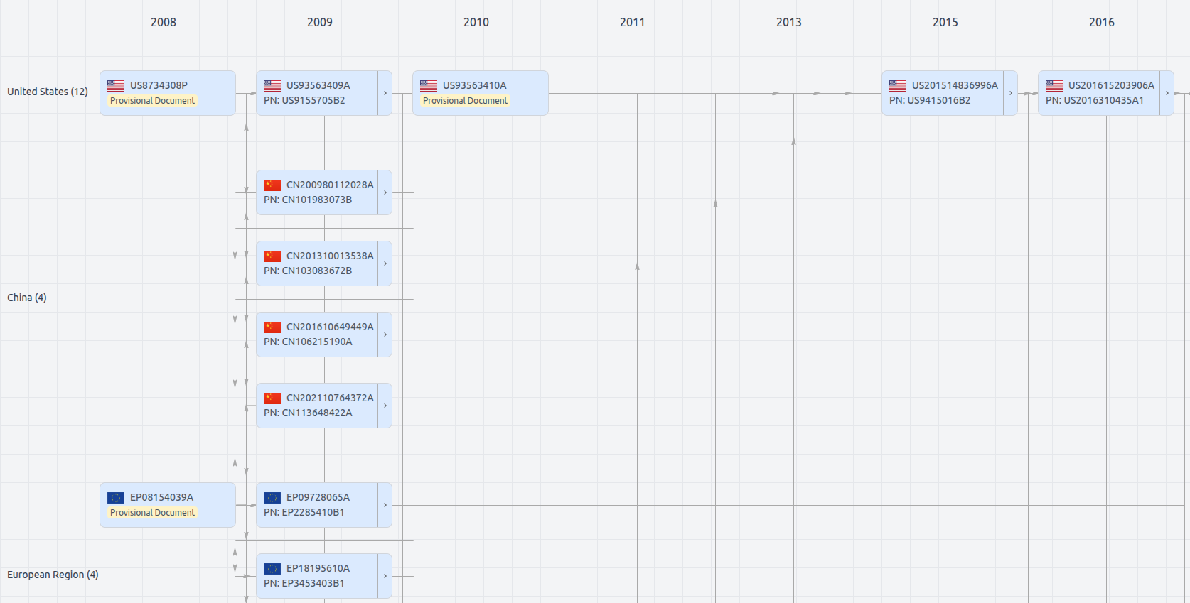
Patent Family
File Wrapper
The dossier documents provide a comprehensive record of the patent's prosecution history - including filings, correspondence, and decisions made by patent offices - and are crucial for understanding the patent's legal journey and any challenges it may have faced during examination.
Get instant alerts for new documents
US11195058
- Application Number
- US16868113
- Filing Date
- May 6, 2020
- Status
- Granted
- Expiry Date
- Sep 25, 2037
- External Links
- Slate, USPTO , Google Patents