Mashing mapping content displayed on mobile devices
Patent No. US9532164 (titled "Mashing mapping content displayed on mobile devices") on Aug 3, 2013. The application was issued on Dec 27, 2016.
What is this patent about?
’164 is related to the field of mobile application integration and digital mapping services. Specifically, it addresses the technical challenge of efficiently transferring geographic data between disparate software environments on a handheld device to provide a unified visual context for multiple locations.
The underlying idea behind ’164 is the creation of a persistent mapping state that aggregates location data from external sources without losing previously displayed information. Rather than treating each new address selection as a discrete, isolated event that resets the map, the system treats incoming data as an incremental update to an existing spatial dataset, allowing the device to dynamically adjust its view to encompass both new and old points of interest.
The claims of ’164 focus on a system and method where a first non-browser application contains a mapping component designed to detect and activate map-able content. When a user interacts with this content, the component triggers a second non-browser mapping application and relays the data through an online service to render a map that integrates the new location with existing mapping content.
In practice, the invention functions by monitoring user interactions within communication or productivity tools, such as email clients or social media apps. When a user selects a string of text representing a location, the system normalizes this data—stripping away extraneous text—and passes it to a background mapping process. This process then calculates a new bounding box or zoom level to ensure that the newly added landmark and the user's prior search results are simultaneously visible on the screen.
This approach differs from prior solutions that typically launched a fresh, empty map instance for every new address query, forcing users to manually toggle between screens to compare locations. By utilizing a mapping queue or clipboard-style aggregation, the invention allows for the consolidation of data from multiple sources—such as a browser tab, an instant message, and an email—into a single, coherent geographic overview.
How does this patent fit in bigger picture?
Technical Landscape
In the mid-2000s when ’164 was filed, mobile operating systems typically managed applications as isolated silos where data exchange between active processes was limited by strict memory and interface constraints. At a time when mapping services were typically implemented as standalone utilities, displaying geographic data required users to manually input addresses or launch specific queries within the mapping environment itself. When systems commonly relied on discrete application instances rather than integrated data-sharing frameworks, the ability to aggregate location information from external software sources into a persistent, unified map view was non-trivial due to the lack of standardized background communication protocols between disparate application layers.
Prosecution Position
The disclosed invention addresses the technical problem of fragmented data visualization on mobile devices by enabling the dynamic integration of mappable content originating from outside a primary mapping application. The architectural solution involves a mechanism for transmitting a second set of mappable content from an external source to an active mapping application, which then overlays this new data onto existing map content. This shift from isolated map instances to a cumulative display achieves the technical effect of maintaining geographic context across different data sources, overcoming the constraint of losing previously displayed information when new location data is introduced from an external software environment.
Claims
The patent contains a total of 10 claims, with claims 1 and 10 serving as the independent claims. These independent claims focus on a system and a computer-readable medium for displaying location-based content by using a mapping component within a first non-browser application to invoke a second non-browser mapping application when map-able content is activated. The dependent claims serve to provide additional technical specifications, such as the specific types of non-browser applications, the use of application programming interfaces, and the automatic display of supplemental information like traffic, directions, or user ratings.
Key Claim Terms New
Definitions of key terms used in the patent claims.
Litigation Cases New
US Latest litigation cases involving this patent.
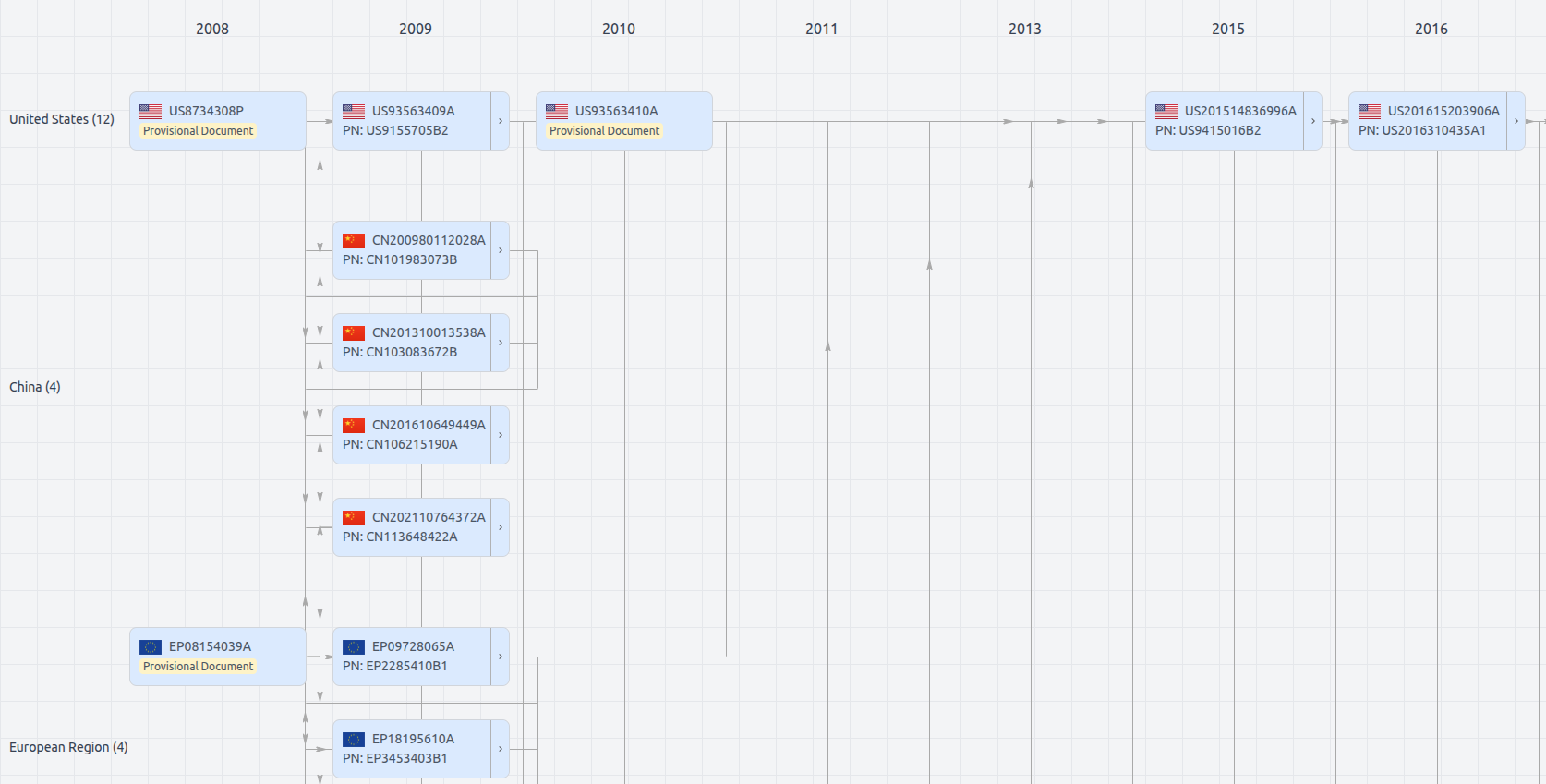
Patent Family
File Wrapper
The dossier documents provide a comprehensive record of the patent's prosecution history - including filings, correspondence, and decisions made by patent offices - and are crucial for understanding the patent's legal journey and any challenges it may have faced during examination.
US9532164
- Application Number
- US13987520A
- Filing Date
- Aug 3, 2013
- Publication Date
- Dec 27, 2016
- External Links
- Slate, USPTO , Google Patents